Woburn Sands, Institute
Introduction
The photograph on this page of Woburn Sands, Institute by Mike Faherty as part of the Geograph project.
The Geograph project started in 2005 with the aim of publishing, organising and preserving representative images for every square kilometre of Great Britain, Ireland and the Isle of Man.

There are currently over 7.5m images from over 14,400 individuals and you can help contribute to the project by visiting https://www.geograph.org.uk
Woburn Sands, Institute
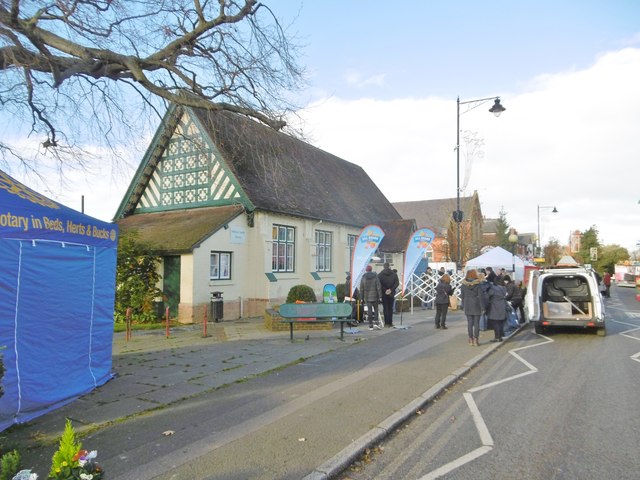
Image: © Mike Faherty Taken: 26 Nov 2017
On High Street; the building is shared with the library. Preparations are underway for today's Christmas Fayre. http://www.woburnsands.org.uk/Woburn-Sands-Town-Council/woburn_sands_library-5433.aspx
Images are licensed for reuse under creativecommons.org/licenses/by-sa/2.0
Image Location
Latitude
52.011779
Longitude
-0.647398