Looking northwest across Barker's Pond, Long Eaton
Introduction
The photograph on this page of Looking northwest across Barker's Pond, Long Eaton by Robin Stott as part of the Geograph project.
The Geograph project started in 2005 with the aim of publishing, organising and preserving representative images for every square kilometre of Great Britain, Ireland and the Isle of Man.

There are currently over 7.5m images from over 14,400 individuals and you can help contribute to the project by visiting https://www.geograph.org.uk
Looking northwest across Barker's Pond, Long Eaton
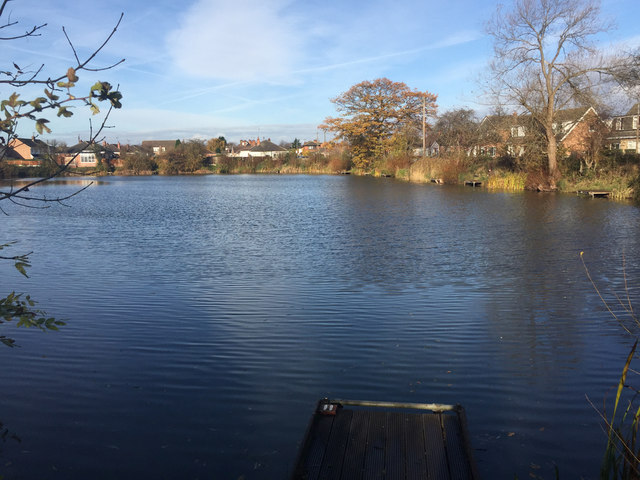
Image: © Robin Stott Taken: 18 Nov 2017
Wyvern Avenue, right, overlooks this fishing lake. I saw at least one angler in place on this sunny November morning. Old maps show it as Fish Pond, later just Pond. Only streetmap.co.uk calls it Barkers Pond but I'm following Ian Calderwood in giving it an apostrophe: Image
Images are licensed for reuse under creativecommons.org/licenses/by-sa/2.0
Image Location
Latitude
52.886225
Longitude
-1.2768