Up School Street, Williamstown
Introduction
The photograph on this page of Up School Street, Williamstown by Jaggery as part of the Geograph project.
The Geograph project started in 2005 with the aim of publishing, organising and preserving representative images for every square kilometre of Great Britain, Ireland and the Isle of Man.

There are currently over 7.5m images from over 14,400 individuals and you can help contribute to the project by visiting https://www.geograph.org.uk
Up School Street, Williamstown
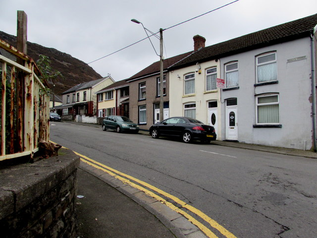
Image: © Jaggery Taken: 31 Oct 2017
School Street ascends towards Mountain Road. The rusty railings are at the perimeter of the site formerly occupied by Williamstown Primary School. The school buildings have been demolished.
Images are licensed for reuse under creativecommons.org/licenses/by-sa/2.0
Image Location
Latitude
51.605673
Longitude
-3.439179