The old A69
Introduction
The photograph on this page of The old A69 by Bob Harvey as part of the Geograph project.
The Geograph project started in 2005 with the aim of publishing, organising and preserving representative images for every square kilometre of Great Britain, Ireland and the Isle of Man.

There are currently over 7.5m images from over 14,400 individuals and you can help contribute to the project by visiting https://www.geograph.org.uk
The old A69
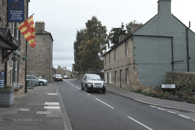
Image: © Bob Harvey Taken: 23 Sep 2017
The Erstwhile main road across the Pennines through Haltwhistle, reduced now to a small street since the town was bypassed. The sign of Image is hanging into the picture.
Images are licensed for reuse under creativecommons.org/licenses/by-sa/2.0
Image Location
Latitude
54.971565
Longitude
-2.45486