East end of footpath across Staines Reservoirs
Introduction
The photograph on this page of East end of footpath across Staines Reservoirs by Robin Webster as part of the Geograph project.
The Geograph project started in 2005 with the aim of publishing, organising and preserving representative images for every square kilometre of Great Britain, Ireland and the Isle of Man.

There are currently over 7.5m images from over 14,400 individuals and you can help contribute to the project by visiting https://www.geograph.org.uk
East end of footpath across Staines Reservoirs
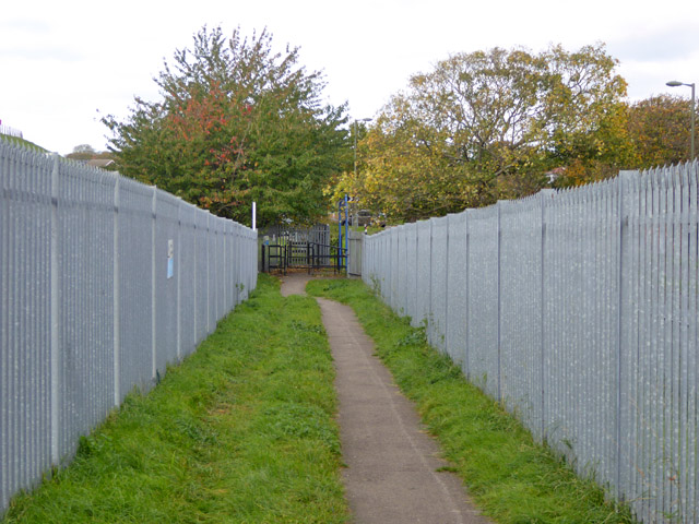
Image: © Robin Webster Taken: 22 Oct 2017
The path from Stanwell Moor Road descends the reservoir bank diagonally to open onto Town Lane.
Images are licensed for reuse under creativecommons.org/licenses/by-sa/2.0
Image Location
Latitude
51.449386
Longitude
-0.481456