Tylacelyn Road directions and distances signs facing Dunraven Street, Tonypandy
Introduction
The photograph on this page of Tylacelyn Road directions and distances signs facing Dunraven Street, Tonypandy by Jaggery as part of the Geograph project.
The Geograph project started in 2005 with the aim of publishing, organising and preserving representative images for every square kilometre of Great Britain, Ireland and the Isle of Man.

There are currently over 7.5m images from over 14,400 individuals and you can help contribute to the project by visiting https://www.geograph.org.uk
Tylacelyn Road directions and distances signs facing Dunraven Street, Tonypandy
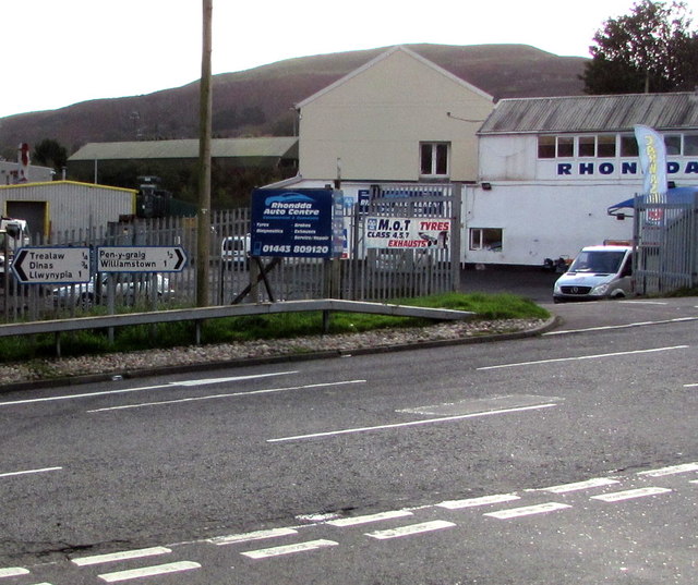
Image: © Jaggery Taken: 17 Oct 2017
Left (north) for Trealaw, Dinas, Llwynypia. Right for Penygraig (Pen-y-graig in Welsh), Williamstown. Rhondda Auto Centre http://www.geograph.org.uk/photo/5572630 is on the right.
Images are licensed for reuse under creativecommons.org/licenses/by-sa/2.0
Image Location
Latitude
51.618852
Longitude
-3.449707