Old excavations
Introduction
The photograph on this page of Old excavations by Robin Webster as part of the Geograph project.
The Geograph project started in 2005 with the aim of publishing, organising and preserving representative images for every square kilometre of Great Britain, Ireland and the Isle of Man.

There are currently over 7.5m images from over 14,400 individuals and you can help contribute to the project by visiting https://www.geograph.org.uk
Old excavations
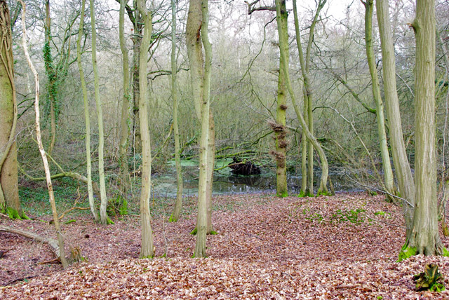
Image: © Robin Webster Taken: 24 Jan 2010
In Pound Wood by Gibbs Brook Lane. Either for clay (the geology is Weald Clay) or what was in the clay, possibly iron.
Images are licensed for reuse under creativecommons.org/licenses/by-sa/2.0
Image Location
Latitude
51.215506
Longitude
-0.013927