Warping Drain Owston Ferry Rd Isle of Axholme North Lincolnshire
Introduction
The photograph on this page of Warping Drain Owston Ferry Rd Isle of Axholme North Lincolnshire by Bob Pearce as part of the Geograph project.
The Geograph project started in 2005 with the aim of publishing, organising and preserving representative images for every square kilometre of Great Britain, Ireland and the Isle of Man.

There are currently over 7.5m images from over 14,400 individuals and you can help contribute to the project by visiting https://www.geograph.org.uk
Warping Drain Owston Ferry Rd Isle of Axholme North Lincolnshire
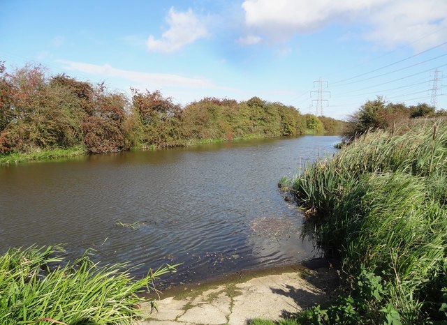
Image: © Bob Pearce Taken: 3 Oct 2017
Warping Drain part of The Isle of Axholme Drainage system.
Images are licensed for reuse under creativecommons.org/licenses/by-sa/2.0
Image Location
Latitude
53.474141
Longitude
-0.808973