St. Barnabas Anglican Church, Higher Drive, Purley, Surrey
Introduction
The photograph on this page of St. Barnabas Anglican Church, Higher Drive, Purley, Surrey by Dr Neil Clifton as part of the Geograph project.
The Geograph project started in 2005 with the aim of publishing, organising and preserving representative images for every square kilometre of Great Britain, Ireland and the Isle of Man.

There are currently over 7.5m images from over 14,400 individuals and you can help contribute to the project by visiting https://www.geograph.org.uk
St. Barnabas Anglican Church, Higher Drive, Purley, Surrey
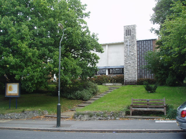
Image: © Dr Neil Clifton Taken: 20 Sep 2005
A modern and popular church serving an extensive suburban area
Images are licensed for reuse under creativecommons.org/licenses/by-sa/2.0
Image Location
Latitude
51.328362
Longitude
-0.116997