Junction of Vine Lane and Lakin Court, Packmores, Warwick
Introduction
The photograph on this page of Junction of Vine Lane and Lakin Court, Packmores, Warwick by Robin Stott as part of the Geograph project.
The Geograph project started in 2005 with the aim of publishing, organising and preserving representative images for every square kilometre of Great Britain, Ireland and the Isle of Man.

There are currently over 7.5m images from over 14,400 individuals and you can help contribute to the project by visiting https://www.geograph.org.uk
Junction of Vine Lane and Lakin Court, Packmores, Warwick
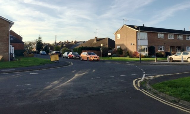
Image: © Robin Stott Taken: 26 Nov 2016
Vine Lane ahead and Lakin Court, right, are seen from the west end of Paradise Street. The name Packmores goes back centuries; it's remembered in parallel Packmores Street. A map of 1887 shows greenhouses: could they have been for a vine? Is Vine Lane related, or did it take its name from The Vine public house, now replaced by houses? It's all surmise – there is no decent history of the modern town though plenty has been written about the historic centre, the Castle and the Castle Park.
Images are licensed for reuse under creativecommons.org/licenses/by-sa/2.0
Image Location
Latitude
52.288247
Longitude
-1.582132