Development north of Stewarton
Introduction
The photograph on this page of Development north of Stewarton by Richard Webb as part of the Geograph project.
The Geograph project started in 2005 with the aim of publishing, organising and preserving representative images for every square kilometre of Great Britain, Ireland and the Isle of Man.

There are currently over 7.5m images from over 14,400 individuals and you can help contribute to the project by visiting https://www.geograph.org.uk
Development north of Stewarton
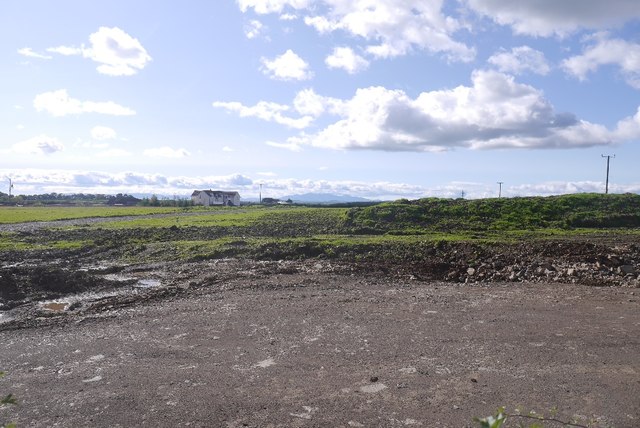
Image: © Richard Webb Taken: 9 Sep 2017
A lot of ground work has been done here, new houses?
Images are licensed for reuse under creativecommons.org/licenses/by-sa/2.0
Image Location
Latitude
55.689844
Longitude
-4.52428