Rooftops of Sleaford
Introduction
The photograph on this page of Rooftops of Sleaford by Neil Theasby as part of the Geograph project.
The Geograph project started in 2005 with the aim of publishing, organising and preserving representative images for every square kilometre of Great Britain, Ireland and the Isle of Man.

There are currently over 7.5m images from over 14,400 individuals and you can help contribute to the project by visiting https://www.geograph.org.uk
Rooftops of Sleaford
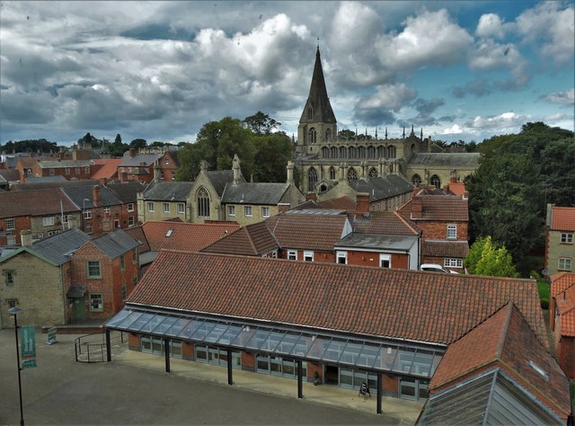
Image: © Neil Theasby Taken: 11 Sep 2017
Seen from The National Centre for Craft and Design. Looking towards the parish church which is dedicated to St Denys.
Images are licensed for reuse under creativecommons.org/licenses/by-sa/2.0
Image Location
Latitude
52.99922
Longitude
-0.408272