RAF Carew Cheriton: control tower
Introduction
The photograph on this page of RAF Carew Cheriton: control tower by Stephen McKay as part of the Geograph project.
The Geograph project started in 2005 with the aim of publishing, organising and preserving representative images for every square kilometre of Great Britain, Ireland and the Isle of Man.

There are currently over 7.5m images from over 14,400 individuals and you can help contribute to the project by visiting https://www.geograph.org.uk
RAF Carew Cheriton: control tower
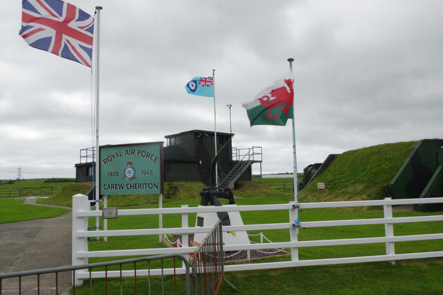
Image: © Stephen McKay Taken: 28 Aug 2017
The World War II control tower is open to the public on Sundays in summer and all bank holidays (except Christmas and new year). Details of its history are available here: Image
Images are licensed for reuse under creativecommons.org/licenses/by-sa/2.0
Image Location
Latitude
51.691806
Longitude
-4.818524