Finchley Synagogue - September 2017
Introduction
The photograph on this page of Finchley Synagogue - September 2017 by The Carlisle Kid as part of the Geograph project.
The Geograph project started in 2005 with the aim of publishing, organising and preserving representative images for every square kilometre of Great Britain, Ireland and the Isle of Man.

There are currently over 7.5m images from over 14,400 individuals and you can help contribute to the project by visiting https://www.geograph.org.uk
Finchley Synagogue - September 2017
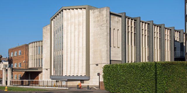
Image: © The Carlisle Kid Taken: 2 Sep 2017
Old maps show a Synagogue on this site in the 1930s, but a different shape to the current structure which may date from the 1950s. See also: Image] .
Images are licensed for reuse under creativecommons.org/licenses/by-sa/2.0
Image Location
Latitude
51.590205
Longitude
-0.201614