Ballynaskeagh Crossroads.
Introduction
The photograph on this page of Ballynaskeagh Crossroads. by Terry Stewart as part of the Geograph project.
The Geograph project started in 2005 with the aim of publishing, organising and preserving representative images for every square kilometre of Great Britain, Ireland and the Isle of Man.

There are currently over 7.5m images from over 14,400 individuals and you can help contribute to the project by visiting https://www.geograph.org.uk
Ballynaskeagh Crossroads.
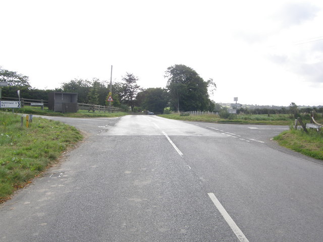
Image: © Terry Stewart Taken: 10 Sep 2007
Taken from the Grovehill Road travelling towards Rathfriland. The main road changes at this point to the Ballynaskeagh Road. On the left is the Ballnafoy road, while on the right is the Glaskerbeg road.
Images are licensed for reuse under creativecommons.org/licenses/by-sa/2.0
Image Location


Leaflet Map data © OpenStreetMap
Latitude
54.273744
Longitude
-6.258449