Trumper Way, Uxbridge
Introduction
The photograph on this page of Trumper Way, Uxbridge by Stephen McKay as part of the Geograph project.
The Geograph project started in 2005 with the aim of publishing, organising and preserving representative images for every square kilometre of Great Britain, Ireland and the Isle of Man.

There are currently over 7.5m images from over 14,400 individuals and you can help contribute to the project by visiting https://www.geograph.org.uk
Trumper Way, Uxbridge
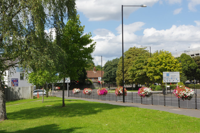
Image: © Stephen McKay Taken: 15 Aug 2017
This is part of a gyratory system close to Uxbridge town centre where the A4020 meets the A408 and the A4007. Note the attractive flower tubs on the railings.
Images are licensed for reuse under creativecommons.org/licenses/by-sa/2.0
Image Location
Latitude
51.544624
Longitude
-0.482325