Farmland on the southern edge of Whetstone
Introduction
The photograph on this page of Farmland on the southern edge of Whetstone by Mat Fascione as part of the Geograph project.
The Geograph project started in 2005 with the aim of publishing, organising and preserving representative images for every square kilometre of Great Britain, Ireland and the Isle of Man.

There are currently over 7.5m images from over 14,400 individuals and you can help contribute to the project by visiting https://www.geograph.org.uk
Farmland on the southern edge of Whetstone
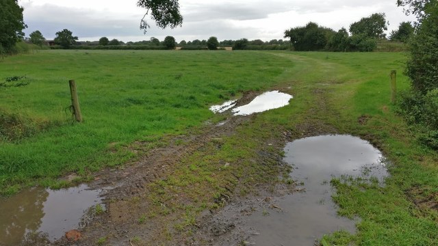
Image: © Mat Fascione Taken: 9 Aug 2017
Whetstone is expanding rapidly, especially the areas either side of Springwell Lane. So this farmland is likely to be a new housing estate.
Images are licensed for reuse under creativecommons.org/licenses/by-sa/2.0
Image Location
Latitude
52.555129
Longitude
-1.179892