North from Bogdavie
Introduction
The photograph on this page of North from Bogdavie by Andrew Wood as part of the Geograph project.
The Geograph project started in 2005 with the aim of publishing, organising and preserving representative images for every square kilometre of Great Britain, Ireland and the Isle of Man.

There are currently over 7.5m images from over 14,400 individuals and you can help contribute to the project by visiting https://www.geograph.org.uk
North from Bogdavie
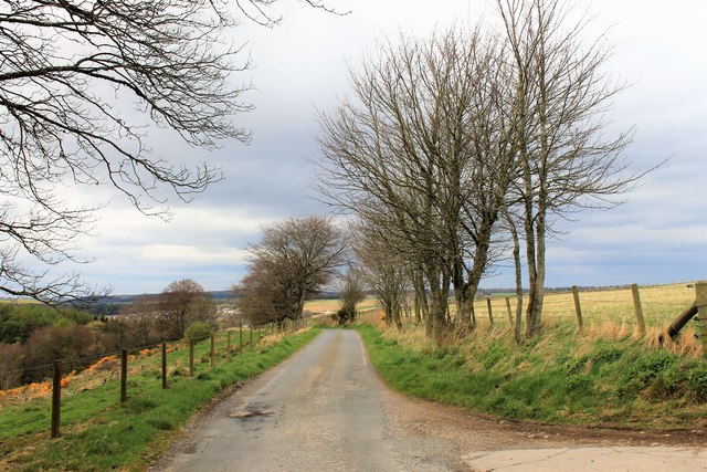
Image: © Andrew Wood Taken: 23 Apr 2017
The road north from Bogdavie towards Petty Mill and Fyvie beyond.
Images are licensed for reuse under creativecommons.org/licenses/by-sa/2.0
Image Location
Latitude
57.416653
Longitude
-2.387706