Cole's Lane near Yetminster
Introduction
The photograph on this page of Cole's Lane near Yetminster by John Lucas as part of the Geograph project.
The Geograph project started in 2005 with the aim of publishing, organising and preserving representative images for every square kilometre of Great Britain, Ireland and the Isle of Man.

There are currently over 7.5m images from over 14,400 individuals and you can help contribute to the project by visiting https://www.geograph.org.uk
Cole's Lane near Yetminster
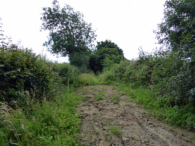
Image: © John Lucas Taken: 13 Jul 2017
Looking northwards on what appears to be an ancient byway. This section was reasonably navigable but further on it is completely blocked by undergrowth necessitating a detour through adjoining fields to make progress.
Images are licensed for reuse under creativecommons.org/licenses/by-sa/2.0
Image Location
Latitude
50.902825
Longitude
-2.591121