Old Warren Farm
Introduction
The photograph on this page of Old Warren Farm by Mat Fascione as part of the Geograph project.
The Geograph project started in 2005 with the aim of publishing, organising and preserving representative images for every square kilometre of Great Britain, Ireland and the Isle of Man.

There are currently over 7.5m images from over 14,400 individuals and you can help contribute to the project by visiting https://www.geograph.org.uk
Old Warren Farm
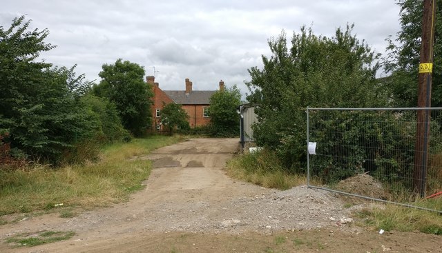
Image: © Mat Fascione Taken: 14 Jul 2017
This farm is on the northern edge of the New Lubbesthorpe housing development, it will soon be surrounded by new homes.
Images are licensed for reuse under creativecommons.org/licenses/by-sa/2.0
Image Location
Latitude
52.615166
Longitude
-1.21732