Chertsey: Abbeyfields Recreation Ground earthwork
Introduction
The photograph on this page of Chertsey: Abbeyfields Recreation Ground earthwork by Nigel Cox as part of the Geograph project.
The Geograph project started in 2005 with the aim of publishing, organising and preserving representative images for every square kilometre of Great Britain, Ireland and the Isle of Man.

There are currently over 7.5m images from over 14,400 individuals and you can help contribute to the project by visiting https://www.geograph.org.uk
Chertsey: Abbeyfields Recreation Ground earthwork
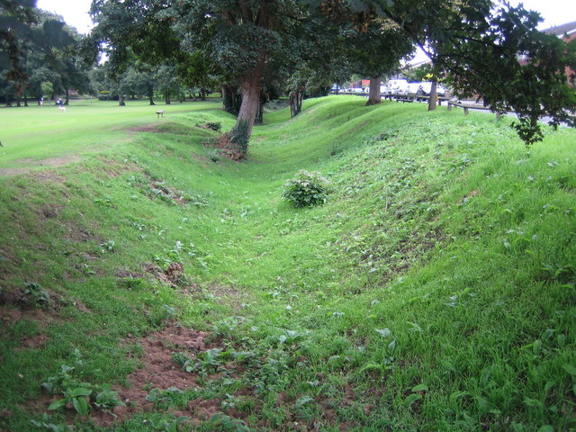
Image: © Nigel Cox Taken: 1 Sep 2007
This earthwork runs along the southern side of the recreation ground with Colonel's Lane to the right. The OS 1:25,000 scale mapping shows a moat in this vicinity so this may well be it.
Images are licensed for reuse under creativecommons.org/licenses/by-sa/2.0
Image Location
Latitude
51.393399
Longitude
-0.505158