Pole Hill Road
Introduction
The photograph on this page of Pole Hill Road by Robin Webster as part of the Geograph project.
The Geograph project started in 2005 with the aim of publishing, organising and preserving representative images for every square kilometre of Great Britain, Ireland and the Isle of Man.

There are currently over 7.5m images from over 14,400 individuals and you can help contribute to the project by visiting https://www.geograph.org.uk
Pole Hill Road
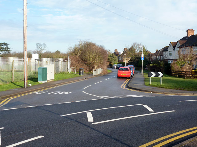
Image: © Robin Webster Taken: 18 Jan 2015
Pole Hill Road comes in from the near left as a major road, but the main route swings to the right as Charvill Lane. Straight on is a dead-end serving a school and some houses.
Images are licensed for reuse under creativecommons.org/licenses/by-sa/2.0
Image Location
Latitude
51.535279
Longitude
-0.441688