B6179 near Smithy Houses
Introduction
The photograph on this page of B6179 near Smithy Houses by Alan Murray-Rust as part of the Geograph project.
The Geograph project started in 2005 with the aim of publishing, organising and preserving representative images for every square kilometre of Great Britain, Ireland and the Isle of Man.

There are currently over 7.5m images from over 14,400 individuals and you can help contribute to the project by visiting https://www.geograph.org.uk
B6179 near Smithy Houses
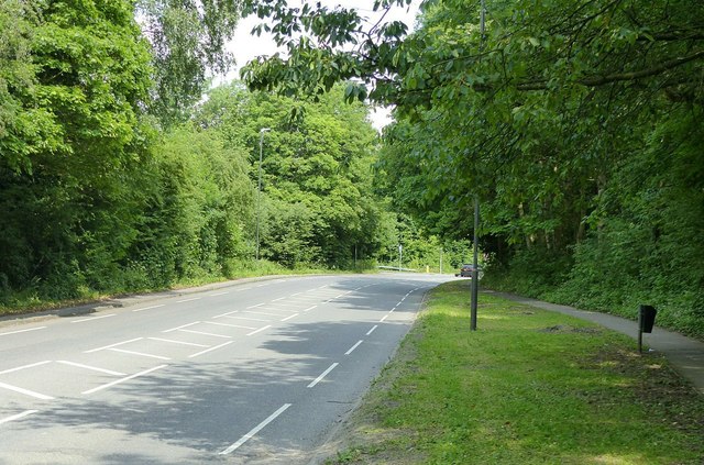
Image: © Alan Murray-Rust Taken: 19 Jun 2017
The wide verge marks the course of the Little Eaton Gangway https://en.wikipedia.org/wiki/Little_Eaton_Gangway. This was one of the early wagon ways to make use of flanged iron rails. It was built in the 1790s by the pioneering engineer Benjamin Outram to connect local collieries to the Derby Canal. It was the last horse drawn tramroad to remain operational in the country, closing in 1908.
Images are licensed for reuse under creativecommons.org/licenses/by-sa/2.0
Image Location
Latitude
53.018559
Longitude
-1.427089