Track to the M5
Introduction
The photograph on this page of Track to the M5 by Derek Harper as part of the Geograph project.
The Geograph project started in 2005 with the aim of publishing, organising and preserving representative images for every square kilometre of Great Britain, Ireland and the Isle of Man.

There are currently over 7.5m images from over 14,400 individuals and you can help contribute to the project by visiting https://www.geograph.org.uk
Track to the M5
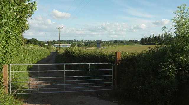
Image: © Derek Harper Taken: 3 Jun 2017
The (private) field access track then runs alongside the motorway, finally bending away from it to reach a field next to the railway line. Across the motorway is the Clyst Works of PGL Training, accessed from Clyst Road beyond. The large road sign on the M5 (you can see the reverse of it) will be concerned with the impending Junction 30. On the horizon is Topsham Water Tower Image
Images are licensed for reuse under creativecommons.org/licenses/by-sa/2.0
Image Location
Latitude
50.706403
Longitude
-3.468819