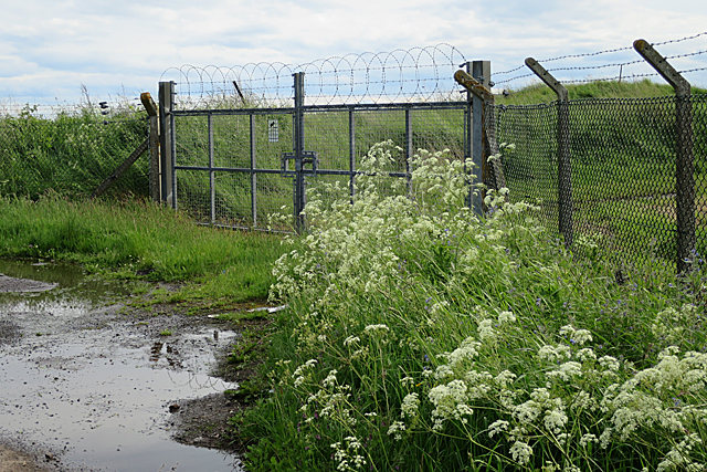
Airfield Gate
Introduction
The photograph on this page of Airfield Gate by Anne Burgess as part of the Geograph project.
The Geograph project started in 2005 with the aim of publishing, organising and preserving representative images for every square kilometre of Great Britain, Ireland and the Isle of Man.
There are currently over 7.5m images from over 14,400 individuals and you can help contribute to the project by visiting https://www.geograph.org.uk

Image: © Anne Burgess Taken: 7 Jun 2017
This is rather like the elephant in the room that everyone ignores. Most of this square is occupied by HMS Condor, shown on the maps as a disused airfield but still very much active Ministry of Defence property. From this back road there are glimpses of the buildings and facilities, including a rather gently inclined artificial ski slope, but most of the square is inaccessible. However this gate is firmly in square and right next the road, so provides a suitable subject to be geographed. I used to come here occasionally when the Angus Gliding Club operated here, and could have had lots of photographs if I had anticipated the advent of Geograph!

