Dickmount Law
Introduction
The photograph on this page of Dickmount Law by Anne Burgess as part of the Geograph project.
The Geograph project started in 2005 with the aim of publishing, organising and preserving representative images for every square kilometre of Great Britain, Ireland and the Isle of Man.

There are currently over 7.5m images from over 14,400 individuals and you can help contribute to the project by visiting https://www.geograph.org.uk
Dickmount Law
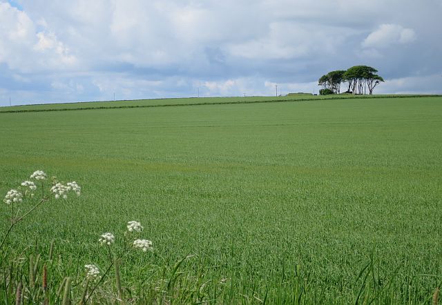
Image: © Anne Burgess Taken: 4 Jun 2017
The trees on top of Dickmount Law mark a cairn. It was said to have been where the local baron held his court. See https://canmore.org.uk/site/35526/dickmount-law for more details.
Images are licensed for reuse under creativecommons.org/licenses/by-sa/2.0
Image Location
Latitude
56.582599
Longitude
-2.563568