Under Westway
Introduction
The photograph on this page of Under Westway by Stephen McKay as part of the Geograph project.
The Geograph project started in 2005 with the aim of publishing, organising and preserving representative images for every square kilometre of Great Britain, Ireland and the Isle of Man.

There are currently over 7.5m images from over 14,400 individuals and you can help contribute to the project by visiting https://www.geograph.org.uk
Under Westway
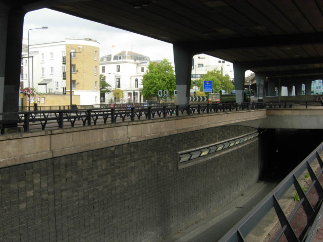
Image: © Stephen McKay Taken: 31 Aug 2007
Westway is the name given to the A40 route out of London. Between Paddington and Westbourne Park it runs parallel to the Great Western main line along an elevated section. The area is a confusing mass of flyovers and underpasses.
Images are licensed for reuse under creativecommons.org/licenses/by-sa/2.0
Image Location
Latitude
51.51972
Longitude
-0.185077