Ashington Villa/Myrtle Villa, Church Street, Henfield
Introduction
The photograph on this page of Ashington Villa/Myrtle Villa, Church Street, Henfield by Simon Carey as part of the Geograph project.
The Geograph project started in 2005 with the aim of publishing, organising and preserving representative images for every square kilometre of Great Britain, Ireland and the Isle of Man.

There are currently over 7.5m images from over 14,400 individuals and you can help contribute to the project by visiting https://www.geograph.org.uk
Ashington Villa/Myrtle Villa, Church Street, Henfield
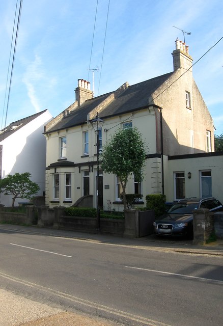
Image: © Simon Carey Taken: 21 May 2017
A pair of semi-detached houses that did not appear on Henfield's 1844 tithe map but did on the 1875 OS map. Ashington Villa is on the left and Mytle Villa is to the right.
Images are licensed for reuse under creativecommons.org/licenses/by-sa/2.0
Image Location
Latitude
50.931931
Longitude
-0.272948