Footpath to Cranham Marsh Nature Reserve
Introduction
The photograph on this page of Footpath to Cranham Marsh Nature Reserve by Marathon as part of the Geograph project.
The Geograph project started in 2005 with the aim of publishing, organising and preserving representative images for every square kilometre of Great Britain, Ireland and the Isle of Man.

There are currently over 7.5m images from over 14,400 individuals and you can help contribute to the project by visiting https://www.geograph.org.uk
Footpath to Cranham Marsh Nature Reserve
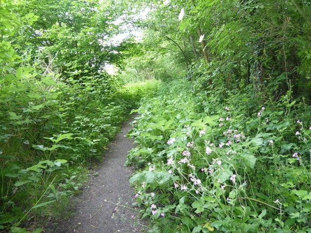
Image: © Marathon Taken: 24 May 2017
Cranham Marsh Nature Reserve comprises a mixture of semi-natural habitats including marsh, sedge fen, damp meadow and wet woodland, which is believed to be ancient. For more information see https://www3.havering.gov.uk/Pages/ServiceChild/NatureReserves-CranhamMarsh.aspx This is the path from Huntsmans Drive through to the Green Belt and Cranham Marsh Nature Reserve. Here Upminster Cemetery is to the right and the playing fields of Gaynes School to the left of the path.
Images are licensed for reuse under creativecommons.org/licenses/by-sa/2.0
Image Location
Latitude
51.546763
Longitude
0.256765