Reflections in the Royal Military Canal, Hythe
Introduction
The photograph on this page of Reflections in the Royal Military Canal, Hythe by pam fray as part of the Geograph project.
The Geograph project started in 2005 with the aim of publishing, organising and preserving representative images for every square kilometre of Great Britain, Ireland and the Isle of Man.

There are currently over 7.5m images from over 14,400 individuals and you can help contribute to the project by visiting https://www.geograph.org.uk
Reflections in the Royal Military Canal, Hythe
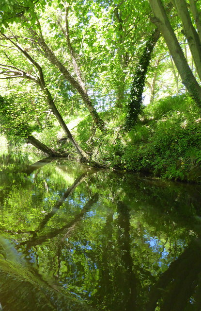
Image: © pam fray Taken: 21 May 2017
Viewed from the electric boat that offers trips up and down the canal. The canal was dug to counter the threat of invasion by Napoleon. It was completed in 1809 and stretches 28 miles from Hythe to Pett Level near Hastings.
Images are licensed for reuse under creativecommons.org/licenses/by-sa/2.0
Image Location
Latitude
51.069579
Longitude
1.066153