This way to Dalbeattie
Introduction
The photograph on this page of This way to Dalbeattie by Richard Sutcliffe as part of the Geograph project.
The Geograph project started in 2005 with the aim of publishing, organising and preserving representative images for every square kilometre of Great Britain, Ireland and the Isle of Man.

There are currently over 7.5m images from over 14,400 individuals and you can help contribute to the project by visiting https://www.geograph.org.uk
This way to Dalbeattie
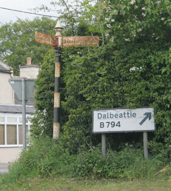
Image: © Richard Sutcliffe Taken: 19 May 2017
Pre-Worboys and post-Worboys direction signs to Dalbeattie in Haugh of Urr. The pre-Worboys sign originally had three arms. Only two remain - pointing to Dalbeattie 3 1/2 MLS; and Haugh of Urr 1/4 ML. The third arm would have pointed down Port Street towards Hardgate (about half a mile north).
Images are licensed for reuse under creativecommons.org/licenses/by-sa/2.0
Image Location
Latitude
54.975296
Longitude
-3.857923