The Moira Road, Ballylacky, Moira/Ballinderry (May 2017)
Introduction
The photograph on this page of The Moira Road, Ballylacky, Moira/Ballinderry (May 2017) by Albert Bridge as part of the Geograph project.
The Geograph project started in 2005 with the aim of publishing, organising and preserving representative images for every square kilometre of Great Britain, Ireland and the Isle of Man.

There are currently over 7.5m images from over 14,400 individuals and you can help contribute to the project by visiting https://www.geograph.org.uk
The Moira Road, Ballylacky, Moira/Ballinderry (May 2017)
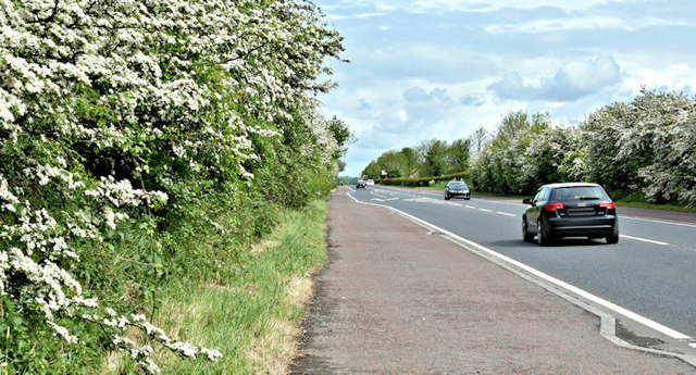
Image: © Albert Bridge Taken: 20 May 2017
See Image The same road, further north. Almost 40 years ago I used to pass here quite frequently. My thoughts were not so much on the traffic (almost none then) but whether the landscaping would ever grow!
Images are licensed for reuse under creativecommons.org/licenses/by-sa/2.0
Image Location
Latitude
54.523411
Longitude
-6.207986