Naylor Hill Quarry, wind turbine and cellphone base
Introduction
The photograph on this page of Naylor Hill Quarry, wind turbine and cellphone base by David Spencer as part of the Geograph project.
The Geograph project started in 2005 with the aim of publishing, organising and preserving representative images for every square kilometre of Great Britain, Ireland and the Isle of Man.

There are currently over 7.5m images from over 14,400 individuals and you can help contribute to the project by visiting https://www.geograph.org.uk
Naylor Hill Quarry, wind turbine and cellphone base
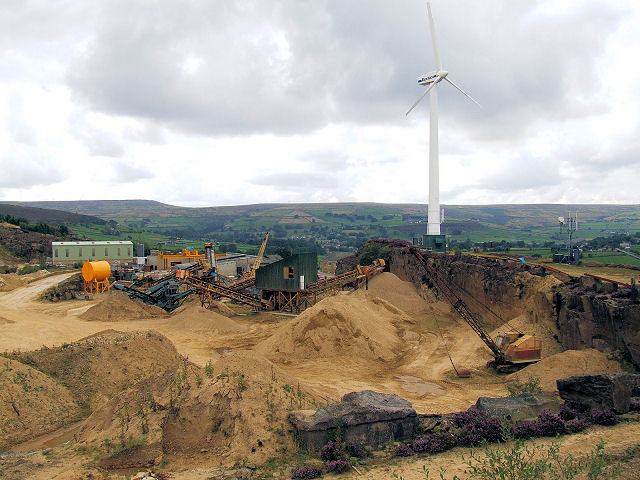
Image: © David Spencer Taken: 29 Aug 2007
All Haworth's unsightly necessities are tucked away together on the edge of Brow Moor. Whereas the wind turbine is visible for miles, the adjoining sandstone quarry is well concealed by the topography.
Images are licensed for reuse under creativecommons.org/licenses/by-sa/2.0
Image Location


Leaflet Map data © OpenStreetMap
Latitude
53.825924
Longitude
-1.941171