Griffiths Way, St Albans
Introduction
The photograph on this page of Griffiths Way, St Albans by Robin Webster as part of the Geograph project.
The Geograph project started in 2005 with the aim of publishing, organising and preserving representative images for every square kilometre of Great Britain, Ireland and the Isle of Man.

There are currently over 7.5m images from over 14,400 individuals and you can help contribute to the project by visiting https://www.geograph.org.uk
Griffiths Way, St Albans
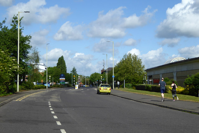
Image: © Robin Webster Taken: 14 May 2017
The principal road of St Albans Retail Park. This was built on former gasworks and railway land.
Images are licensed for reuse under creativecommons.org/licenses/by-sa/2.0
Image Location


Leaflet Map data © OpenStreetMap
Latitude
51.742513
Longitude
-0.340854