Cwrt Sart Comprehensive School
Introduction
The photograph on this page of Cwrt Sart Comprehensive School by Alan Hughes as part of the Geograph project.
The Geograph project started in 2005 with the aim of publishing, organising and preserving representative images for every square kilometre of Great Britain, Ireland and the Isle of Man.

There are currently over 7.5m images from over 14,400 individuals and you can help contribute to the project by visiting https://www.geograph.org.uk
Cwrt Sart Comprehensive School
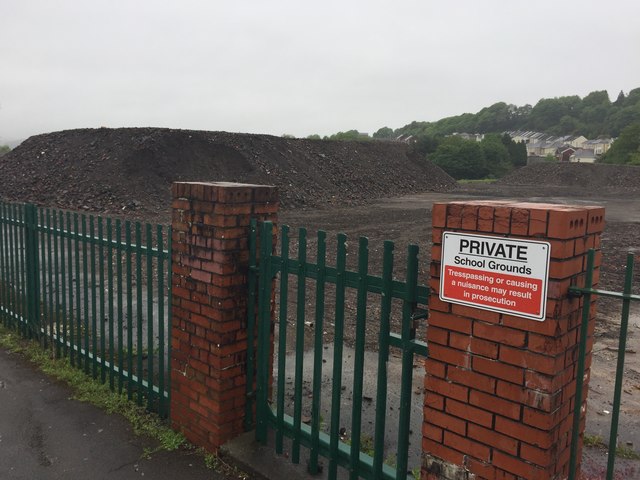
Image: © Alan Hughes Taken: 16 May 2017
Piles of rubble - all that remains of Cwrt Sart School which closed in August 2016.
Images are licensed for reuse under creativecommons.org/licenses/by-sa/2.0
Image Location
Latitude
51.64236
Longitude
-3.815384