Kirkyard of Old Erskine Parish Church
Introduction
The photograph on this page of Kirkyard of Old Erskine Parish Church by Lairich Rig as part of the Geograph project.
The Geograph project started in 2005 with the aim of publishing, organising and preserving representative images for every square kilometre of Great Britain, Ireland and the Isle of Man.

There are currently over 7.5m images from over 14,400 individuals and you can help contribute to the project by visiting https://www.geograph.org.uk
Kirkyard of Old Erskine Parish Church
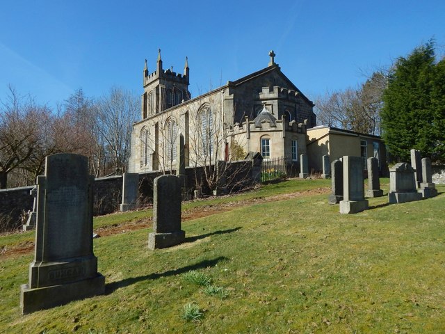
Image: © Lairich Rig Taken: 27 Mar 2017
The vestry mentioned in the end-note can be seen in the present picture, as an addition to the near end of Image (the old Erskine Parish Church).
Images are licensed for reuse under creativecommons.org/licenses/by-sa/2.0
Image Location
Latitude
55.915855
Longitude
-4.486622