Stanford Avenue
Introduction
The photograph on this page of Stanford Avenue by Simon Carey as part of the Geograph project.
The Geograph project started in 2005 with the aim of publishing, organising and preserving representative images for every square kilometre of Great Britain, Ireland and the Isle of Man.

There are currently over 7.5m images from over 14,400 individuals and you can help contribute to the project by visiting https://www.geograph.org.uk
Stanford Avenue
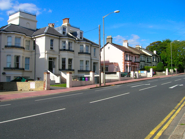
Image: © Simon Carey Taken: 27 Aug 2007
At this point part of the A23 one way system before it reaches Preston Circus. The road itself extends from Preston Road up the hill to Ditchling Road at Fiveways. Developed in the early 1880s and named after the Lords of the Manor at Preston Manor on whose land it was built.
Images are licensed for reuse under creativecommons.org/licenses/by-sa/2.0
Image Location
Latitude
50.838175
Longitude
-0.1412