Coronation Grove
Introduction
The photograph on this page of Coronation Grove by DS Pugh as part of the Geograph project.
The Geograph project started in 2005 with the aim of publishing, organising and preserving representative images for every square kilometre of Great Britain, Ireland and the Isle of Man.

There are currently over 7.5m images from over 14,400 individuals and you can help contribute to the project by visiting https://www.geograph.org.uk
Coronation Grove
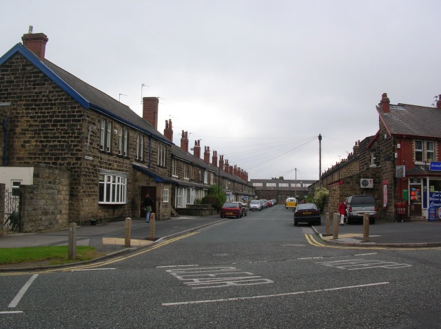
Image: © DS Pugh Taken: 22 Aug 2007
One of several terraces along Hookstone Road at the Leeds Road end. Opposite this is a park next to Oatlands school.
Images are licensed for reuse under creativecommons.org/licenses/by-sa/2.0
Image Location
Latitude
53.978352
Longitude
-1.530041