Cairntack
Introduction
The photograph on this page of Cairntack by Anne Burgess as part of the Geograph project.
The Geograph project started in 2005 with the aim of publishing, organising and preserving representative images for every square kilometre of Great Britain, Ireland and the Isle of Man.

There are currently over 7.5m images from over 14,400 individuals and you can help contribute to the project by visiting https://www.geograph.org.uk
Cairntack
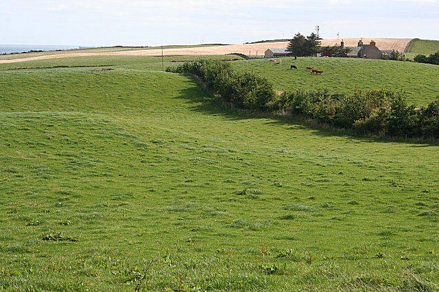
Image: © Anne Burgess Taken: 27 Aug 2007
Confusingly, Balmedie Farm, near which this image was taken, is close to the hamlet of Belhelvie, while the village of Balmedie is down by the sea. The farm in the middle distance is Cairntack
Images are licensed for reuse under creativecommons.org/licenses/by-sa/2.0
Image Location
Latitude
57.248797
Longitude
-2.082677