Playing Field, Wantley Hill Estate, Henfield
Introduction
The photograph on this page of Playing Field, Wantley Hill Estate, Henfield by Simon Carey as part of the Geograph project.
The Geograph project started in 2005 with the aim of publishing, organising and preserving representative images for every square kilometre of Great Britain, Ireland and the Isle of Man.

There are currently over 7.5m images from over 14,400 individuals and you can help contribute to the project by visiting https://www.geograph.org.uk
Playing Field, Wantley Hill Estate, Henfield
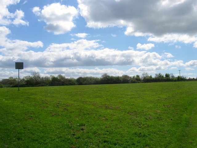
Image: © Simon Carey Taken: 18 Apr 2017
To the east of the former council estate is this playing field which appears to be rather sparse with available facilities. Originally known as Fox Field according to Henfield's 1844 tithe map. To the north is Image
Images are licensed for reuse under creativecommons.org/licenses/by-sa/2.0
Image Location
Latitude
50.936635
Longitude
-0.268788