Conversion of The Tractor Shed, Bull Lane
Introduction
The photograph on this page of Conversion of The Tractor Shed, Bull Lane by John Baker as part of the Geograph project.
The Geograph project started in 2005 with the aim of publishing, organising and preserving representative images for every square kilometre of Great Britain, Ireland and the Isle of Man.

There are currently over 7.5m images from over 14,400 individuals and you can help contribute to the project by visiting https://www.geograph.org.uk
Conversion of The Tractor Shed, Bull Lane
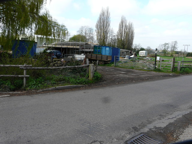
Image: © John Baker Taken: 2 Apr 2017
Planning permission has been granted by Swale Borough Council under application number 15/505045/FULL as an “addition to barn as per planning permission SW/12/1540 (conversion and enlargement of redundant farm building to 3 self-contained units for use as holiday accommodation with associated on-site parking, turning and amenity space along with diversion of public footpath. Erection of barn and provision of pond) and increased yard area for purpose of storing agricultural tractors and machinery for use connected to agriculture”.
Images are licensed for reuse under creativecommons.org/licenses/by-sa/2.0
Image Location
Latitude
51.342252
Longitude
0.659827