Up Llanyravon Way, Cwmbran
Introduction
The photograph on this page of Up Llanyravon Way, Cwmbran by Jaggery as part of the Geograph project.
The Geograph project started in 2005 with the aim of publishing, organising and preserving representative images for every square kilometre of Great Britain, Ireland and the Isle of Man.

There are currently over 7.5m images from over 14,400 individuals and you can help contribute to the project by visiting https://www.geograph.org.uk
Up Llanyravon Way, Cwmbran
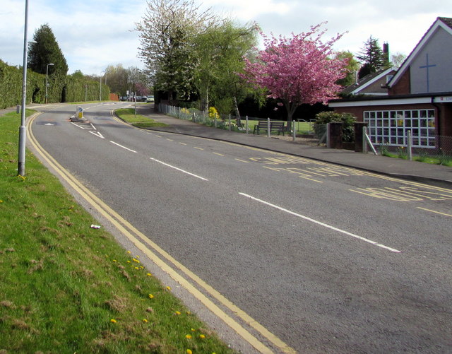
Image: © Jaggery Taken: 12 Apr 2017
Llanyravon Way ascends towards the Croesyceiliog area of Cwmbran. Llanyrafon Methodist Church http://www.geograph.org.uk/photo/5349208 is on the right. In 2017, the Welsh Llanyrafon and the slightly Anglicised Llanyravon are about equally common in English language use in this area of Cwmbran.
Images are licensed for reuse under creativecommons.org/licenses/by-sa/2.0
Image Location
Latitude
51.652012
Longitude
-3.004248