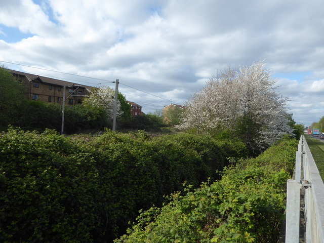
The railway line alongside the North-South Route
Introduction
The photograph on this page of The railway line alongside the North-South Route by Marathon as part of the Geograph project.
The Geograph project started in 2005 with the aim of publishing, organising and preserving representative images for every square kilometre of Great Britain, Ireland and the Isle of Man.
There are currently over 7.5m images from over 14,400 individuals and you can help contribute to the project by visiting https://www.geograph.org.uk

Image: © Marathon Taken: 12 Apr 2017
The North-South Route was opened in 1990 from just south of the M25 near Waltham Cross to Ferry Lane near Tottenham and for much of its route runs parallel to and just east of the railway line between Waltham Cross and Tottenham Hale. It was supposed to relieve the roads to the west of traffic but on the day I was here the traffic was solid southbound. In this photograph there is a ditch immediately to the left of the barrier and further to the left and beyond is the railway. The railway line from Stratford to Broxbourne via Waltham Cross was opened by the Northern & Eastern Railway on 15th September 1840. There are frequent trains along here but most do not stop at the intermediate stations and are longer distance to places like Cambridge and Stansted Airport.

