Ruin of Rank Sir Henry - north east end
Introduction
The photograph on this page of Ruin of Rank Sir Henry - north east end by M J Roscoe as part of the Geograph project.
The Geograph project started in 2005 with the aim of publishing, organising and preserving representative images for every square kilometre of Great Britain, Ireland and the Isle of Man.

There are currently over 7.5m images from over 14,400 individuals and you can help contribute to the project by visiting https://www.geograph.org.uk
Ruin of Rank Sir Henry - north east end
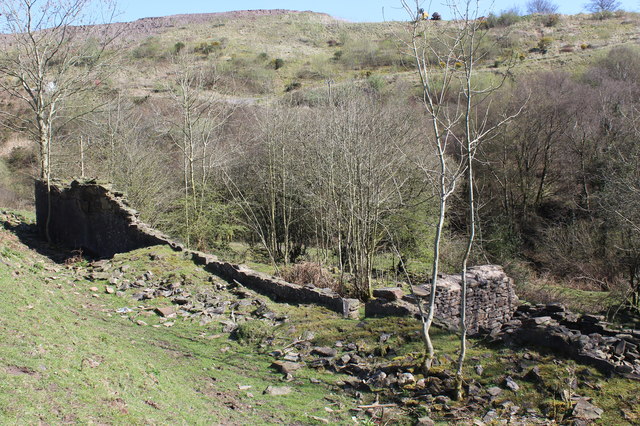
Image: © M J Roscoe Taken: 6 Apr 2017
Viewed from above, the end of the remains of historic workers housing Image On the skyline, on the other side of the small valley, is waste tipped behind the Penyfan Caravan Park.
Images are licensed for reuse under creativecommons.org/licenses/by-sa/2.0
Image Location
Latitude
51.701623
Longitude
-3.180587