Hanham Green
Introduction
The photograph on this page of Hanham Green by Damon Knight as part of the Geograph project.
The Geograph project started in 2005 with the aim of publishing, organising and preserving representative images for every square kilometre of Great Britain, Ireland and the Isle of Man.

There are currently over 7.5m images from over 14,400 individuals and you can help contribute to the project by visiting https://www.geograph.org.uk
Hanham Green
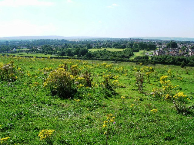
Image: © Damon Knight Taken: 24 Aug 2007
Westerly view from the hill above Mount Pleasant Farm , close to the trig point 4538, across the ring road (obscured by the slope), to Hanham Green (in top third of the photo)
Images are licensed for reuse under creativecommons.org/licenses/by-sa/2.0
Image Location


Leaflet Map data © OpenStreetMap
Latitude
51.439249
Longitude
-2.514606