Edge of woodland and view beyond, near Mountstephen House
Introduction
The photograph on this page of Edge of woodland and view beyond, near Mountstephen House by David Smith as part of the Geograph project.
The Geograph project started in 2005 with the aim of publishing, organising and preserving representative images for every square kilometre of Great Britain, Ireland and the Isle of Man.

There are currently over 7.5m images from over 14,400 individuals and you can help contribute to the project by visiting https://www.geograph.org.uk
Edge of woodland and view beyond, near Mountstephen House
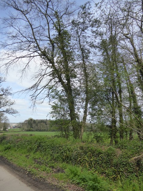
Image: © David Smith Taken: 5 Apr 2017
The road gives access to part of Mountstephen House and Mountstephen Farm. The view is across the level land between Cullompton and Tiverton Parkway
Images are licensed for reuse under creativecommons.org/licenses/by-sa/2.0
Image Location
Latitude
50.906727
Longitude
-3.353366