Pocklington Cemetery Chapel and Mortuary
Introduction
The photograph on this page of Pocklington Cemetery Chapel and Mortuary by Martin Dawes as part of the Geograph project.
The Geograph project started in 2005 with the aim of publishing, organising and preserving representative images for every square kilometre of Great Britain, Ireland and the Isle of Man.

There are currently over 7.5m images from over 14,400 individuals and you can help contribute to the project by visiting https://www.geograph.org.uk
Pocklington Cemetery Chapel and Mortuary
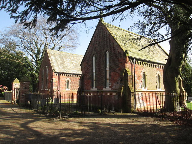
Image: © Martin Dawes Taken: 15 Mar 2017
The O/S map mentions mortuary, both buildings look identical and are now private houses. The path through the cemetery is the route of the Wilberforce Way
Images are licensed for reuse under creativecommons.org/licenses/by-sa/2.0
Image Location
Latitude
53.926872
Longitude
-0.779218