Wick: bridleway I27 reaches Wick Lane
Introduction
The photograph on this page of Wick: bridleway I27 reaches Wick Lane by Chris Downer as part of the Geograph project.
The Geograph project started in 2005 with the aim of publishing, organising and preserving representative images for every square kilometre of Great Britain, Ireland and the Isle of Man.

There are currently over 7.5m images from over 14,400 individuals and you can help contribute to the project by visiting https://www.geograph.org.uk
Wick: bridleway I27 reaches Wick Lane
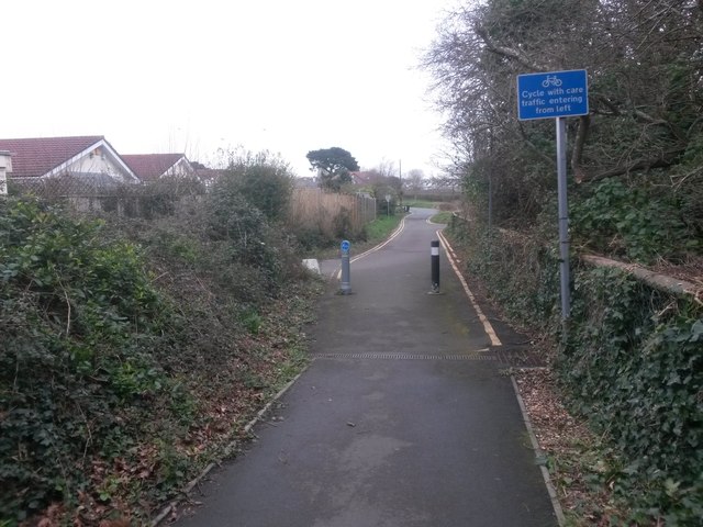
Image: © Chris Downer Taken: 6 Mar 2017
This public bridleway is marked on Ordnance Survey maps as a byway open to all traffic (or B.O.A.T.) so I presume the designation has changed at some point over the last 20 years. It heads from Thornbury Road to the dead end of Wick Lane, and is realistically the original continuation of Wick Lane when it was a rural track. Here, we see it as it approaches Wick Lane. The road sign urges caution from cyclists, as there is a concealed driveway on the left just past the posts. See Image for the view towards us from ahead, and Image for the next view on the bridleway behind us, with links to further photos on the route.
Images are licensed for reuse under creativecommons.org/licenses/by-sa/2.0
Image Location
Latitude
50.725072
Longitude
-1.778798