Court Street
Introduction
The photograph on this page of Court Street by Ian Capper as part of the Geograph project.
The Geograph project started in 2005 with the aim of publishing, organising and preserving representative images for every square kilometre of Great Britain, Ireland and the Isle of Man.

There are currently over 7.5m images from over 14,400 individuals and you can help contribute to the project by visiting https://www.geograph.org.uk
Court Street
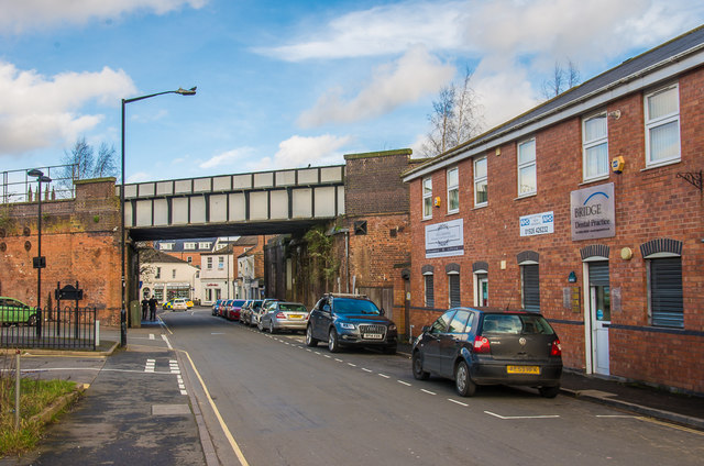
Image: © Ian Capper Taken: 4 Mar 2017
Once an area of terraced housing, it was cleared post war and now consists of car parks and small businesses/industrial premises. The building on the right houses a dentist's practice. The bridge carries the railway from Banbury into Leamington Spa station.
Images are licensed for reuse under creativecommons.org/licenses/by-sa/2.0
Image Location
Latitude
52.283486
Longitude
-1.530474