Craigie Fields
Introduction
The photograph on this page of Craigie Fields by Mary and Angus Hogg as part of the Geograph project.
The Geograph project started in 2005 with the aim of publishing, organising and preserving representative images for every square kilometre of Great Britain, Ireland and the Isle of Man.

There are currently over 7.5m images from over 14,400 individuals and you can help contribute to the project by visiting https://www.geograph.org.uk
Craigie Fields
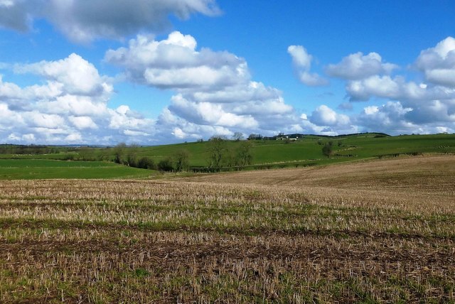
Image: © Mary and Angus Hogg Taken: 5 Mar 2017
Looking over last year's arable fields at Craigie towards Laigh Langcraig, in the next square. The rolling landscape was produced by deposition of drumlins during the last Ice Age leaving sticky, stony soils.
Images are licensed for reuse under creativecommons.org/licenses/by-sa/2.0
Image Location
Latitude
55.552081
Longitude
-4.522889